Hayward (Wisconsin, USA): North America and Europe are likely to witness one of their most sweltering summers and most intense storms in the coming months. On June 11, the US National Oceanic and Atmospheric Administration (NOAA) issued a press release predicting a 63 per cent chance of a “very strong” El Niño this season – with possibly significant consequences for both continents.
Daniel Kammen, climate and energy expert at Johns Hopkins University tells NWS that NOAA confidently predicts that, at whatever intensity it takes on, El Nino will certainly continue through the fall and is extremely likely to continue through the winter. “This will impact the U.S and Europe in stronger, wetter storms,” says Kammen.
While the El Niño Southern Oscillation (ENSO) influences weather across the earth, it strikes some regions more acutely than others.
Scientists identify the presence of El Niño mostly by monitoring sea surface temperatures (SSTs) of a large area of the eastern Pacific Ocean, known as the Niño 3.4 region, located roughly 3,000 kilometers southeast of the Hawaiian Islands.
“It’s kind of an arbitrary box,” explains climate scientist Simon Donner of Canada’s University of British Columbia, “a theoretical box over the ocean … that sort of straddles the equator in the eastern Pacific.”
The countries that monitor and declare El Niño events – including the US, Australia, Japan, Peru, and the UK – apply varying standards, but broadly look for temperature variations of 0.5°C from the average sustained over several months. Low atmospheric pressure and high surface air temperature also factor into some El Niño assessments, but, at its core, ENSO entails the higher SSTs – normally centered over the western Pacific and the Indian Ocean – shifting eastward, accompanied by wetter conditions.

El Niño, which typically occurs every two to seven years, has sharply contrasting effects on either side of the Pacific. Australia and Indonesia face hotter, drier summers – and, in severe cases, droughts and wildfires – while Peru experiences heavier than usual rainfall, warming coastal waters that disrupt its productive fisheries.
Though felt more strongly in the eastern Pacific Ocean region, ENSO also significantly impacts southern and central Asia and portions of North America and Africa. Strong El Niño events curtail summer monsoons and increase dry conditions across India and southern Asia, for example. “There are some predictable effects during a typical El Niño event,” Donner says. “It tends to be drier in central and western Canada, and it tends to be wetter in California and Florida. And, it tends to be drier in Australia and Papua New Guinea.”
Will Europe get impacted too?
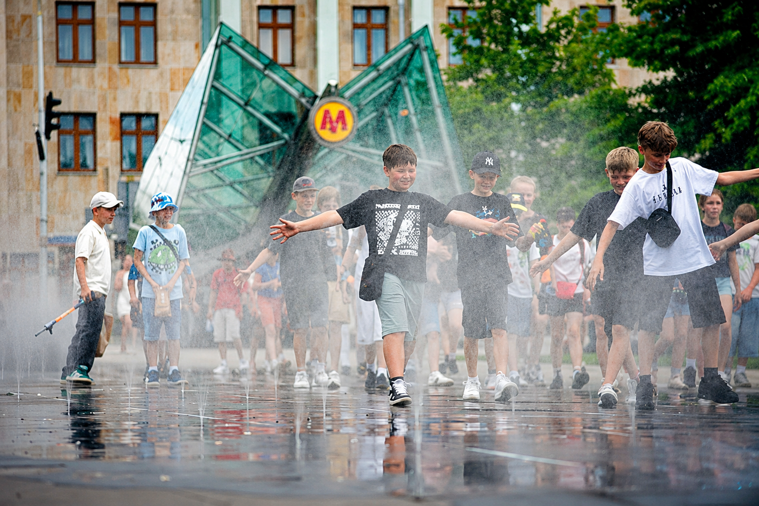
More importantly, El Niño may display a strong presence this time in Europe where the climate phenomenon is not always easily recognised. The World Meteorological Organization (WMO) reports a 90 per cent chance of El Niño impacting Europe and the rest of the world by the end of 2026. “Europe is facing extremely hot months,” says Wilfran Moufouma-Okia, chief of the climate prediction section of the WMO. “There will be some drought.”
The intensity of El Niño events in Europe, however, still eludes calculation.
Josef Ludescher, a scientist at Germany’s Potsdam Institute for Climate Research (PIK), believes that while its impact is felt globally, El Niño affects European weather only marginally.
“Europe is the continent least affected by El Niño,” says Ludescher, answering questions by NWS over email. Other forces prevail upon European weather. “The direct influence of the Atlantic,” he adds, “is much stronger on European weather than the indirect influence of El Niño from the distant Pacific.”
“The concrete weather conditions in the Atlantic can easily mask the weaker signal from an El Niño,” Ludescher says.
“European climate is much more variable and unpredictable than climate in the tropics,” explains the UK’s University of Exeter mathematician Mat Collins. “There are multiple factors such as sea surface temperatures in the Atlantic, sea-ice variability, interactions between the upper and lower atmosphere, etc., which have all been proposed as influencing European climate.”
Yet, complexities multiply when discussing El Niño – to an extent that it cannot be ignored any longer.
Ludescher notes that El Niño impacts weather in one of the two ways, depending on where its maximum warming effects occur. An Eastern Pacific (EP) El Niño, which Ludescher believes is the likely form that this 2026 version will take, leads to less winter cooling in northern Europe than the alternative, a Central Pacific (CP) El Niño with warmer temperatures featured more near the middle of the Pacific equatorial area. Regional variations in Europe may stretch southward, as well.
“El Niño can also lead to warmer temperatures and higher precipitation in the southwestern part of Europe,” says Ludescher, pointing to Spain as likely to experience this “in the summer and fall before El Niño peaks.”
The existing baseline may also inform El Niño impacts. Europe’s exceptional warmth is part of a broader global pattern. The planet has just endured its 11 warmest years on record, and now faces an El Niño layered on top of an already unusually warm year that has seen temperature records broken month after month. Pakistan recorded 51.5°C on May 28. India experienced highs in April of 46°C. In March, Cape Town residents fought off 42.1° temperatures, the highest March heat in 66 years.

“It’s still a bit early,” cautions Donner. He describes the situation as a “high probability” that we are witnessing the beginning of an El Niño event. “How strong it is, is still not entirely certain. All I can say is that what is going on with the ocean temperatures in the Pacific for June is highly unusual.” About temperatures, Donner added, “they’re high earlier (in the year) than they normally would be.”
Europe, which is warming at twice the global rate owing to climate change, has been poised for a strong El Niño, including a hot summer and fall. One May 2026 paper by the WMO describes the underlying conditions in Europe as 2.5°C warmer than historical averages. The June forecast from the Copernicus Climate Change Service, a European Union-funded observation and data service, identifies a 2.5°C swing in magnitude of a key El Niño index in the eastern Pacific.
Whatever El Niño contributes to European weather this summer and fall, Kammen sees warming as its precondition. “With eastern Europe warming faster than the west, overall Europe is up over 2.5°C,” indicates Kammen, echoing another finding from the Copernicus service that identifies the temperature increase in Europe from pre-industrial levels.
“The Norwegian arctic, around Svalbard, is warming rapidly, which is a bad sign for Arctic sea ice that reflects sunlight,” Kammen observes. Agriculture and energy sectors will feel this shift sharply. “ENSO will result in both hotter conditions and more intense rain, which is challenging for summer power supplies in Europe, and (may cause) more crop damage.”
Is the world prepared?
If specific regional impacts of El Niño in Europe remain less clear than in, say, India, the impact of climate change on the planet is certain. “Global warming affects everything about life,” says Donner. “The best way to think about it is that we have developed our systems, we’ve developed the way we live according to a certain range of climate conditions.”
“As you shift the range of climate conditions,” Donner warns, “I’m sorry to say, some of those systems may not be sufficiently resilient.”
Heat stress and drought diminish crop yields, and high temperatures threaten human health, driving a demand for cooling across borders – like throughout southern Europe and southern Asia – not typically outfitted for air conditioning.
“The same concept can apply across everything, whether it’s culture, whether it’s transportation, whether it’s agriculture, whether it’s energy — it’s that we’ve developed all of our systems for the past climate,” Donner says.
“The climate’s now shifting because of human activity, and the question is, are we ready for it?”