Typhoon Champi, one of the strongest storms of the Pacific season, has left one person dead and more than 500 injured in Taiwan. It is now moving north towards the Chinese coast and Japan. In Shanghai, authorities have moved tens of thousands of people out of harm’s way. Okinawa has already suffered power cuts and injuries, and mainland Japan is next in the storm’s path.
Taiwan takes the first blow
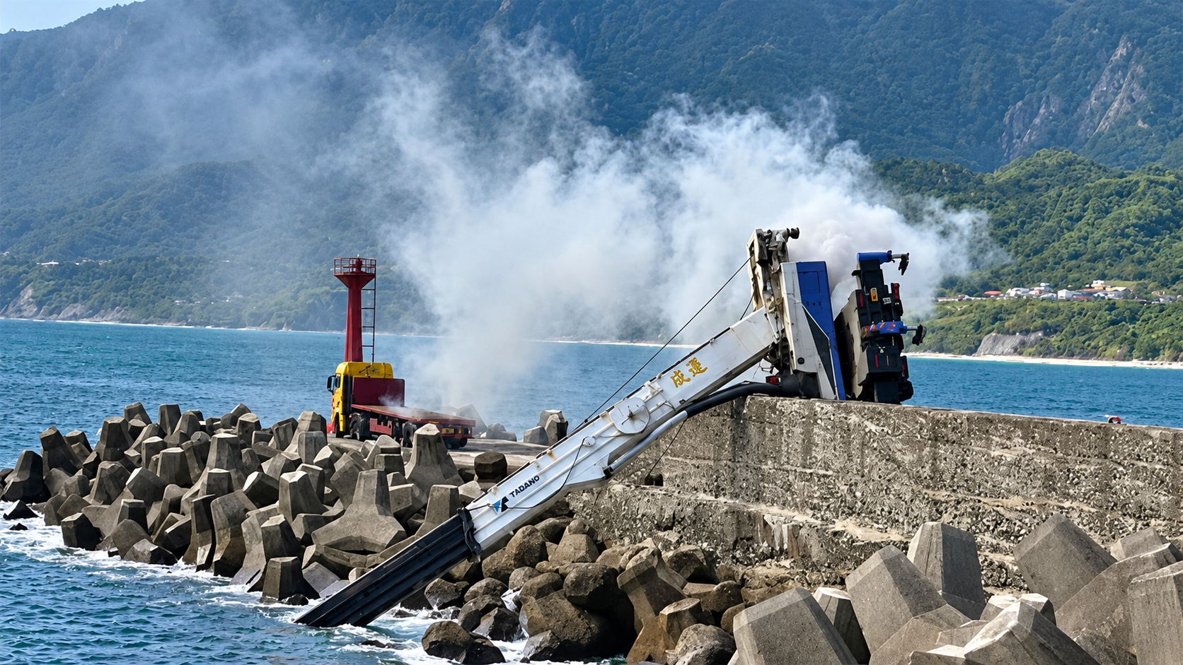
The storm struck Taiwan’s northeast on Friday (October 23) and into the early hours of Saturday. It brushed past the coast without making landfall, but that was enough to topple trees, bring down power lines and cause brief flooding. More than 5,000 people were evacuated from their homes. By Saturday, emergency crews were racing to restore electricity to about 56,000 households still without power. Most shops in northern and central Taiwan stayed shut for a second day. Authorities had warned of “destructive winds” and told residents to stay indoors.
Taiwan’s Ministry of Transportation and Communications said that 259 flights were cancelled on Saturday, an improvement on Friday, when the figure was almost 1,000. Taoyuan International Airport said services would resume gradually as the storm moved away.
The human toll
Casualty figures have changed quickly and should be treated with caution. Early tallies counted well under 200 injured, but the latest reports put the number above 500.
Residents described a frightening night. A retired teacher in Yilan told Reuters that it was the worst he had seen in many years. Others in Taipei and New Taipei City spoke of fearing being blown away, though one librarian said it was no stronger than previous typhoons.
Why Champi hit as it did
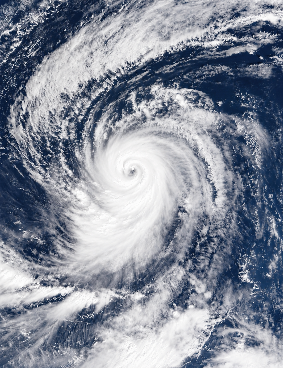
Champi’s impact came down to its intensity and track. It peaked on Wednesday as a super typhoon, with winds of nearly 300 km/h (186mph), making it one of the strongest storms of the year, before weakening to a severe typhoon on Thursday. The US Joint Typhoon Warning Center put its maximum winds at 185 km/h on Friday.
For Taiwan, the danger was as much about water as wind. Taiwan’s Central Weather Administration (CWA) said up to 900 mm of rain could fall between Thursday and Saturday, with the northeast hit hardest. More than 400 mm fell in Yilan County on Friday alone, and the city of Yilan has received 650mm since Thursday. The storm weakened overnight as it looped off Yilan, but CWA forecaster Lu Kuo-chen warned it could slow near the island’s northeastern tip, which would prolong the rain and wind there.
The El Niño factor
Champi is also a product of an unusual season. The Pacific has been supercharged by El Niño, the natural cycle that warms the tropical Pacific, and the United Nations said this week that the current event is heading off the charts. The World Meteorological Organization’s secretary-general, Celeste Saulo, said it could be unprecedented in strength by the standards of four decades of monitoring. It is expected to peak in December, with effects lasting into 2027 and beyond, which means forecasters expect more storms like this one.
China’s response
In mainland China, preparations began days before the storm arrived. Zhejiang province started its typhoon emergency response at 8am on Wednesday. On Thursday, the National Flood Control and Drought Relief Headquarters and the Ministry of Emergency Management activated a Level IV emergency response for flood and typhoon control in Shanghai, Zhejiang and Fujian, according to China Central Television as cited by Global Times. A working group was dispatched to Zhejiang to guide preparations, while fishing emergency centres at all levels tightened monitoring of vessels returning to port.
The national forecaster has kept a blue typhoon warning in place, the lowest tier in China’s four-level system. Even so, the authorities say that from 23 to 26 October, a combination of cold air and the typhoon will bring strong winds along the east coast, with “heavy to torrential rain in parts of Jiangsu, Shanghai and Zhejiang”.
Disruption in Shanghai and the east coast
The effects are now being felt in the country’s economic heartland. Flights at airports in Shanghai, Fujian and Zhejiang have been grounded, with more than a hundred affected, and some train services have been suspended. Shanghai authorities evacuated about 62,400 people ahead of the storm’s arrival on Friday, according to CCTV. Airports flagged as being at risk have included Shanghai Pudong and Hongqiao, Hangzhou Xiaoshan, Ningbo Lishe and Wenzhou Longwan.
Japan in the storm’s path
Japan’s southernmost islands have also been hit. About 8,400 households in Okinawa were without power on Friday afternoon, according to the Okinawa Electric Power Company, and the Japanese government said two people were injured. The typhoon’s arrival coincided with a large-scale joint military drill with the United States in Japan, as SCMP reported.
Champi is forecast to hover near Okinawa and China’s eastern coast before turning northeast towards mainland Japan. Global Times, citing Chinese forecasters, said it was expected to turn northeast on Saturday night over waters off eastern Zhejiang.
The scale of the impact
In total, the storm has affected three jurisdictions: Taiwan, mainland China and Japan. Authorities have recorded one death and more than 500 injuries in Taiwan, two injuries in Okinawa, and more than 5,000 evacuations in Taiwan. Shanghai has evacuated around 62,400 people. Roughly 56,000 Taiwanese households were still without power on Saturday, and about 8,400 households in Okinawa lost power on Friday.
What comes next
Officials and forecasters say the worst may not be over. Winds and waves around Taiwan remain strong, and eastern China is expected to see further heavy rain and gales through 26 October before the storm turns towards Japan. Casualty and damage figures are likely to rise as assessments continue.